Site of a Prehistoric Cairn
Introduction
The photograph on this page of Site of a Prehistoric Cairn by Mary and Angus Hogg as part of the Geograph project.
The Geograph project started in 2005 with the aim of publishing, organising and preserving representative images for every square kilometre of Great Britain, Ireland and the Isle of Man.

There are currently over 7.5m images from over 14,400 individuals and you can help contribute to the project by visiting https://www.geograph.org.uk
Site of a Prehistoric Cairn
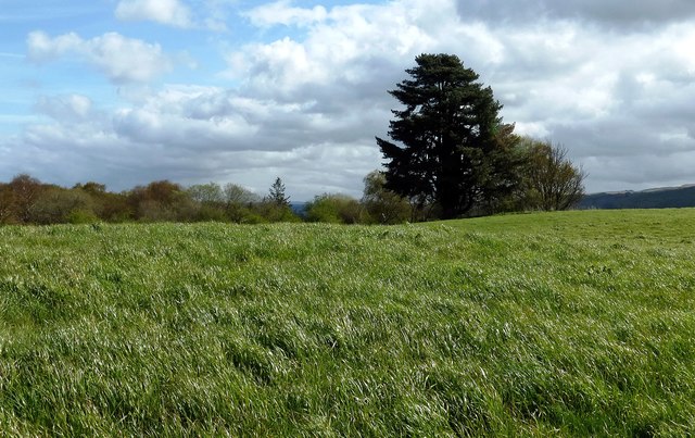
Image: © Mary and Angus Hogg Taken: 5 May 2016
There's nothing visible on the ground now. Centuries of cultivation have improved the land by removing the stones. The 1856 edition of the OS Six-Inch map shows that 4 stone coffins were found here in 1820.
Images are licensed for reuse under creativecommons.org/licenses/by-sa/2.0
Image Location
Latitude
55.283256
Longitude
-4.730541