Edwalton: where the footpath once crossed the railway
Introduction
The photograph on this page of Edwalton: where the footpath once crossed the railway by John Sutton as part of the Geograph project.
The Geograph project started in 2005 with the aim of publishing, organising and preserving representative images for every square kilometre of Great Britain, Ireland and the Isle of Man.

There are currently over 7.5m images from over 14,400 individuals and you can help contribute to the project by visiting https://www.geograph.org.uk
Edwalton: where the footpath once crossed the railway
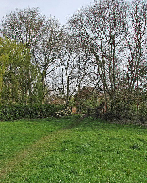
Image: © John Sutton Taken: 2 May 2016
In the centre of the picture are the remains of the red-brick parapets of an occupation bridge - now filled in - over the Midland main line from Nottingham to Melton, Oakham, Corby and Kettering, which closed in the 1960s.
Images are licensed for reuse under creativecommons.org/licenses/by-sa/2.0
Image Location
Latitude
52.908435
Longitude
-1.117923