A much-changed canal bank
Introduction
The photograph on this page of A much-changed canal bank by John Sutton as part of the Geograph project.
The Geograph project started in 2005 with the aim of publishing, organising and preserving representative images for every square kilometre of Great Britain, Ireland and the Isle of Man.

There are currently over 7.5m images from over 14,400 individuals and you can help contribute to the project by visiting https://www.geograph.org.uk
A much-changed canal bank
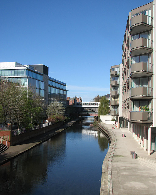
Image: © John Sutton Taken: 3 May 2016
The Nottingham One flats are on the right and a tram is crossing the Nottingham Canal on a blue-brick arch which once carried trains from Nottingham Victoria to Marylebone. The view is from the footbridge shown in Image
Images are licensed for reuse under creativecommons.org/licenses/by-sa/2.0
Image Location
Latitude
52.948718
Longitude
-1.143894