Eastbound Sleaford Bypass
Introduction
The photograph on this page of Eastbound Sleaford Bypass by David Dixon as part of the Geograph project.
The Geograph project started in 2005 with the aim of publishing, organising and preserving representative images for every square kilometre of Great Britain, Ireland and the Isle of Man.

There are currently over 7.5m images from over 14,400 individuals and you can help contribute to the project by visiting https://www.geograph.org.uk
Eastbound Sleaford Bypass
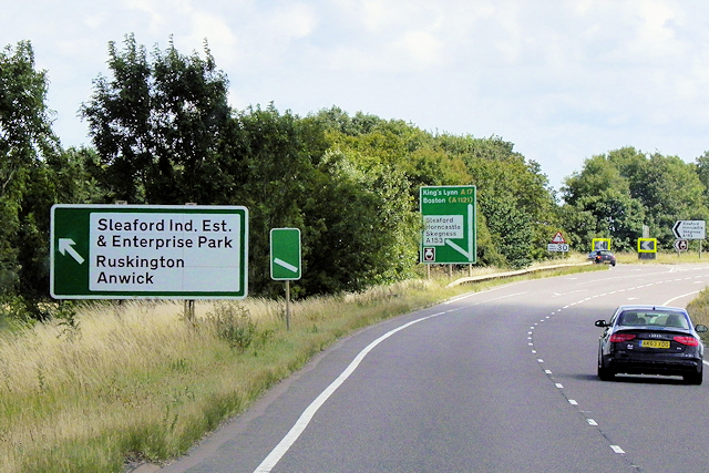
Image: © David Dixon Taken: 2 Aug 2015
This part of the A17 acts as the Sleaford Bypass. It is one of only four sections of the route which are dual carriageways. With a length of 3 miles, it is the longest of these sections.
Images are licensed for reuse under creativecommons.org/licenses/by-sa/2.0
Image Location
Latitude
53.012782
Longitude
-0.400618