Monarch's Way sticker
Introduction
The photograph on this page of Monarch's Way sticker by Neil Owen as part of the Geograph project.
The Geograph project started in 2005 with the aim of publishing, organising and preserving representative images for every square kilometre of Great Britain, Ireland and the Isle of Man.

There are currently over 7.5m images from over 14,400 individuals and you can help contribute to the project by visiting https://www.geograph.org.uk
Monarch's Way sticker
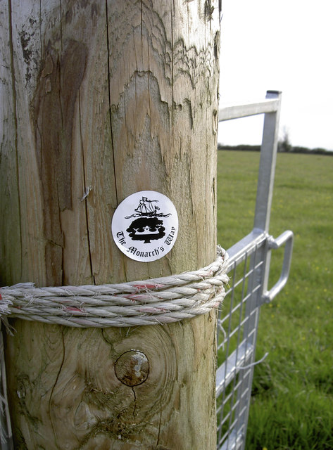
Image: © Neil Owen Taken: 5 May 2016
A rather less expensive marker on the footpath around Dundry. The route is over 600 miles long and largely recreates the path taken by King Charles II as he fled from the Battle of Worcester in 1651. Not sure this sticker will remain in place for too long, but then there must be a lot of them needed so the cost must have been decisive.
Images are licensed for reuse under creativecommons.org/licenses/by-sa/2.0
Image Location
Latitude
51.39653
Longitude
-2.651798