Annesley Grove
Introduction
The photograph on this page of Annesley Grove by John Sutton as part of the Geograph project.
The Geograph project started in 2005 with the aim of publishing, organising and preserving representative images for every square kilometre of Great Britain, Ireland and the Isle of Man.

There are currently over 7.5m images from over 14,400 individuals and you can help contribute to the project by visiting https://www.geograph.org.uk
Annesley Grove
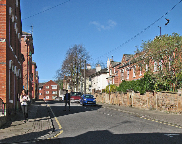
Image: © John Sutton Taken: 3 May 2016
The houses on the right date from the initial expansion of the city in the middle of the nineteenth century, the trainers dangling from the telephone wire from the first part of the twenty-first.
Images are licensed for reuse under creativecommons.org/licenses/by-sa/2.0
Image Location
Latitude
52.961367
Longitude
-1.152725