Oxfordshire fieldscape with airfield
Introduction
The photograph on this page of Oxfordshire fieldscape with airfield by M J Richardson as part of the Geograph project.
The Geograph project started in 2005 with the aim of publishing, organising and preserving representative images for every square kilometre of Great Britain, Ireland and the Isle of Man.

There are currently over 7.5m images from over 14,400 individuals and you can help contribute to the project by visiting https://www.geograph.org.uk
Oxfordshire fieldscape with airfield
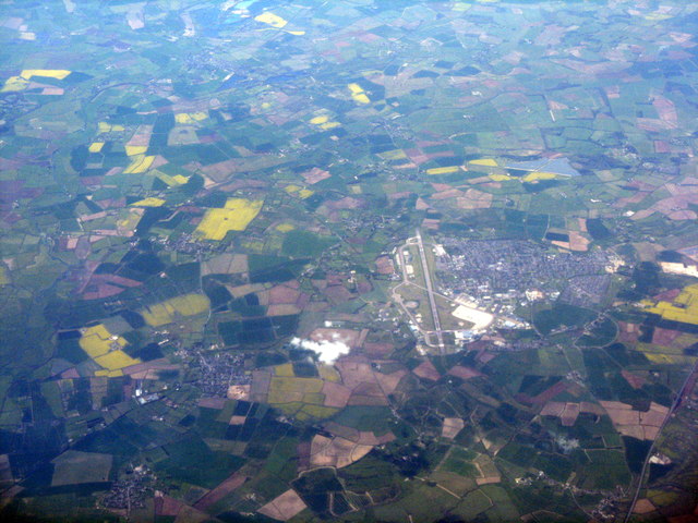
Image: © M J Richardson Taken: 4 May 2016
A westward view from over Eynsham, with RAF Brize Norton and Carterton in the centre.
Images are licensed for reuse under creativecommons.org/licenses/by-sa/2.0
Image Location
Latitude
51.742957
Longitude
-1.581385