Dam of Fribo
Introduction
The photograph on this page of Dam of Fribo by Isla17 as part of the Geograph project.
The Geograph project started in 2005 with the aim of publishing, organising and preserving representative images for every square kilometre of Great Britain, Ireland and the Isle of Man.

There are currently over 7.5m images from over 14,400 individuals and you can help contribute to the project by visiting https://www.geograph.org.uk
Dam of Fribo
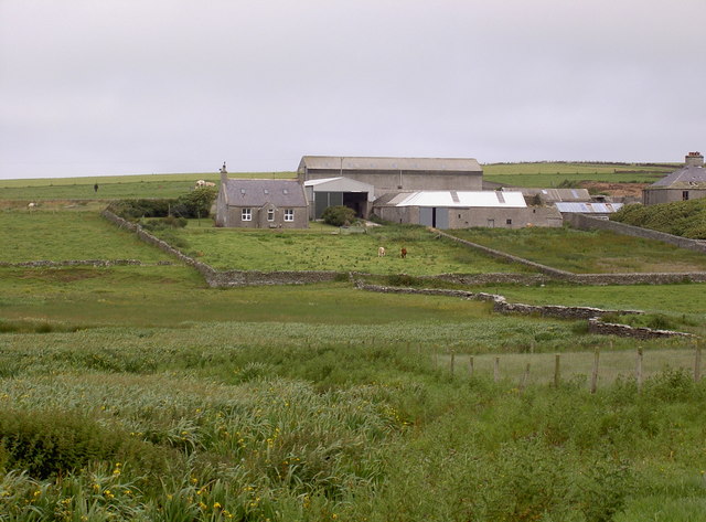
Image: © Isla17 Taken: 13 Jul 2007
Foreground shows Dam of Fribo (no longer in use) and its dam dyke. Anvil cottage and farm of Fribo in background.
Images are licensed for reuse under creativecommons.org/licenses/by-sa/2.0
Image Location


Leaflet Map data © OpenStreetMap
Latitude
59.28691
Longitude
-2.975882