Tre-icert, Nevern
Introduction
The photograph on this page of Tre-icert, Nevern by Dylan Moore as part of the Geograph project.
The Geograph project started in 2005 with the aim of publishing, organising and preserving representative images for every square kilometre of Great Britain, Ireland and the Isle of Man.

There are currently over 7.5m images from over 14,400 individuals and you can help contribute to the project by visiting https://www.geograph.org.uk
Tre-icert, Nevern
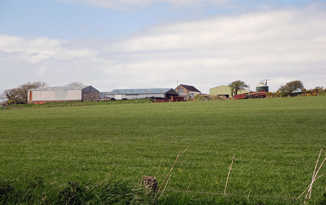
Image: © Dylan Moore Taken: 2 May 2016
The name of the farm, dating from the 16th century, is a dialect version of Tre-Reicert (Richard's farm) referring to an English landowner from the period shortly after the arrival of the Normans. In the 14th century the place was called Hodiston, so perhaps there was a Richard Hood.
Images are licensed for reuse under creativecommons.org/licenses/by-sa/2.0
Image Location
Latitude
52.046507
Longitude
-4.776204