Moorings at Torksey Lock
Introduction
The photograph on this page of Moorings at Torksey Lock by Mat Fascione as part of the Geograph project.
The Geograph project started in 2005 with the aim of publishing, organising and preserving representative images for every square kilometre of Great Britain, Ireland and the Isle of Man.

There are currently over 7.5m images from over 14,400 individuals and you can help contribute to the project by visiting https://www.geograph.org.uk
Moorings at Torksey Lock
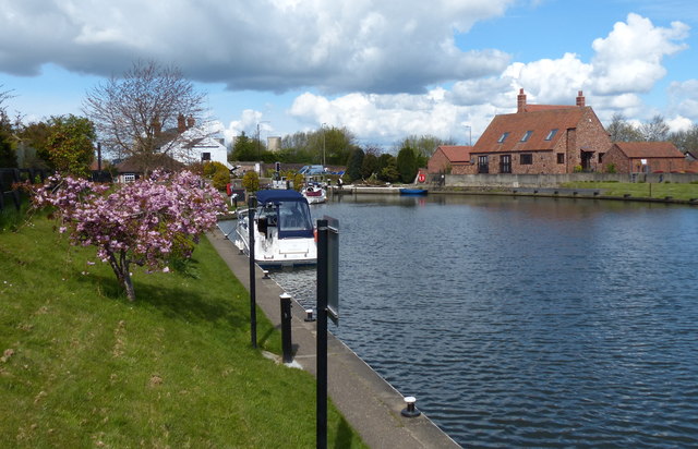
Image: © Mat Fascione Taken: 30 Apr 2016
At the western end of the eleven and a quarter mile long Fossdyke Canal, near Torksey Junction where it joins the River Trent.
Images are licensed for reuse under creativecommons.org/licenses/by-sa/2.0
Image Location
Latitude
53.29243
Longitude
-0.743669