Back Lane, Soyland
Introduction
The photograph on this page of Back Lane, Soyland by Humphrey Bolton as part of the Geograph project.
The Geograph project started in 2005 with the aim of publishing, organising and preserving representative images for every square kilometre of Great Britain, Ireland and the Isle of Man.

There are currently over 7.5m images from over 14,400 individuals and you can help contribute to the project by visiting https://www.geograph.org.uk
Back Lane, Soyland
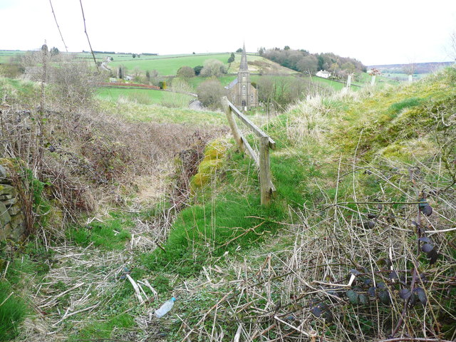
Image: © Humphrey Bolton Taken: 18 Apr 2016
This is a sunken lane, blocked by brambles. This view is from the southern end of the footpath from Weather Hill. A path has been trodden up the grassy slope to the right. It goes along a strip of land that has been planted with trees.
Images are licensed for reuse under creativecommons.org/licenses/by-sa/2.0
Image Location
Latitude
53.690662
Longitude
-1.96059