Oozells Street Loop - Ladywood, Birmingham
Introduction
The photograph on this page of Oozells Street Loop - Ladywood, Birmingham by Martin Richard Phelan as part of the Geograph project.
The Geograph project started in 2005 with the aim of publishing, organising and preserving representative images for every square kilometre of Great Britain, Ireland and the Isle of Man.

There are currently over 7.5m images from over 14,400 individuals and you can help contribute to the project by visiting https://www.geograph.org.uk
Oozells Street Loop - Ladywood, Birmingham
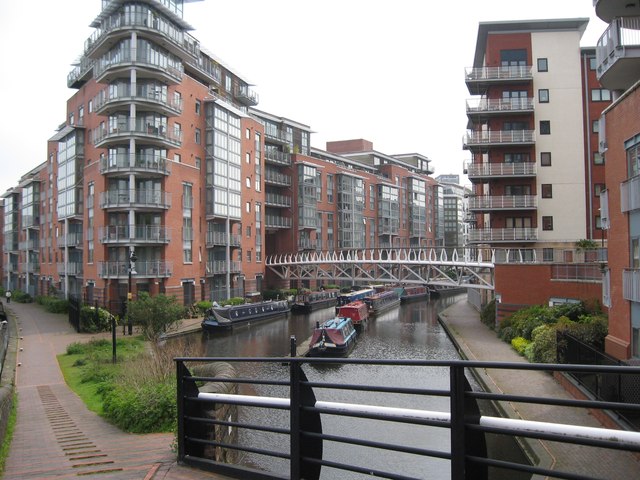
Image: © Martin Richard Phelan Taken: 2 May 2012
A view into the Oozells Street Loop with its moorings. Clearly evident is the amount of development which has taken place in recent years alongside the canal network in the city centre. Time photo taken 12.39 pm BST (British Summer Time).
Images are licensed for reuse under creativecommons.org/licenses/by-sa/2.0
Image Location
Latitude
52.478019
Longitude
-1.918241