Moss Lane crossing the River Pinn
Introduction
The photograph on this page of Moss Lane crossing the River Pinn by Marathon as part of the Geograph project.
The Geograph project started in 2005 with the aim of publishing, organising and preserving representative images for every square kilometre of Great Britain, Ireland and the Isle of Man.

There are currently over 7.5m images from over 14,400 individuals and you can help contribute to the project by visiting https://www.geograph.org.uk
Moss Lane crossing the River Pinn
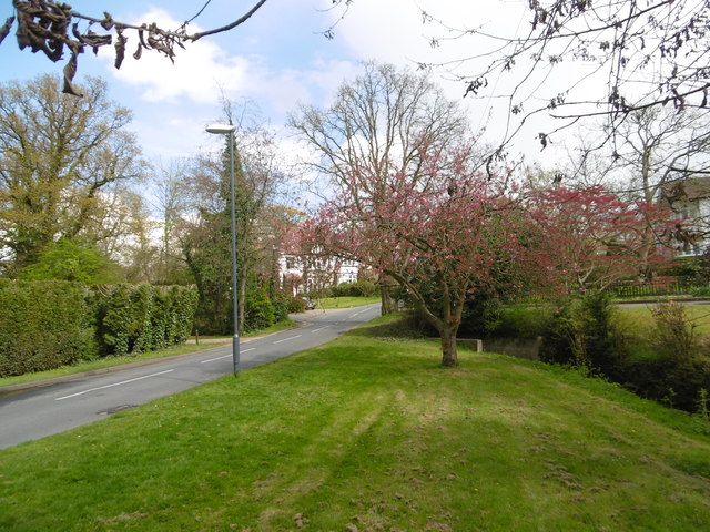
Image: © Marathon Taken: 27 Apr 2016
This is close to the edge of Pinner Park Farm. The River Pinn passes under the road just ahead. The River Pinn is a tributary of the Frays River which it joins at Yiewsley after passing through Ickenham and Uxbridge.
Images are licensed for reuse under creativecommons.org/licenses/by-sa/2.0
Image Location
Latitude
51.598518
Longitude
-0.37715