Side road into Tonna Hospital
Introduction
The photograph on this page of Side road into Tonna Hospital by Jaggery as part of the Geograph project.
The Geograph project started in 2005 with the aim of publishing, organising and preserving representative images for every square kilometre of Great Britain, Ireland and the Isle of Man.

There are currently over 7.5m images from over 14,400 individuals and you can help contribute to the project by visiting https://www.geograph.org.uk
Side road into Tonna Hospital
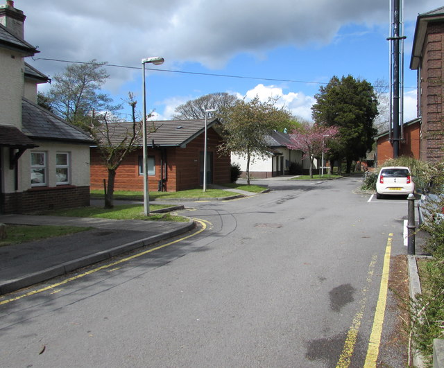
Image: © Jaggery Taken: 29 Apr 2016
From the B4434 Tonna Uchaf in the east of Tonna. The main hospital entrance http://www.geograph.org.uk/photo/4927774 is 65 metres to the east.
Images are licensed for reuse under creativecommons.org/licenses/by-sa/2.0
Image Location


Leaflet Map data © OpenStreetMap
Latitude
51.679618
Longitude
-3.766248