Pen-y-bryn, Tonna
Introduction
The photograph on this page of Pen-y-bryn, Tonna by Jaggery as part of the Geograph project.
The Geograph project started in 2005 with the aim of publishing, organising and preserving representative images for every square kilometre of Great Britain, Ireland and the Isle of Man.

There are currently over 7.5m images from over 14,400 individuals and you can help contribute to the project by visiting https://www.geograph.org.uk
Pen-y-bryn, Tonna
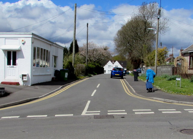
Image: © Jaggery Taken: 29 Apr 2016
North along Pen-y-bryn from the B4434 Tonna Uchaf. Millennium Care http://www.geograph.org.uk/photo/4927691 is on the left.
Images are licensed for reuse under creativecommons.org/licenses/by-sa/2.0
Image Location


Leaflet Map data © OpenStreetMap
Latitude
51.68014
Longitude
-3.767425