Christ Church, Aberbeeg
Introduction
The photograph on this page of Christ Church, Aberbeeg by M J Roscoe as part of the Geograph project.
The Geograph project started in 2005 with the aim of publishing, organising and preserving representative images for every square kilometre of Great Britain, Ireland and the Isle of Man.

There are currently over 7.5m images from over 14,400 individuals and you can help contribute to the project by visiting https://www.geograph.org.uk
Christ Church, Aberbeeg
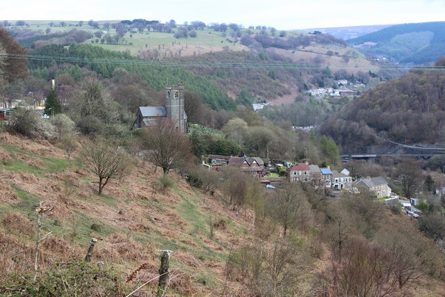
Image: © M J Roscoe Taken: 28 Apr 2016
The Grade II listed Edwardian church, in need of repair, was declared redundant by the diocese in November 2012. Pantddu Terrace can be seen below the church. The Ebbw Fach valley goes off to the right and in it Warm Turn can just be discerned.
Images are licensed for reuse under creativecommons.org/licenses/by-sa/2.0
Image Location
Latitude
51.70689
Longitude
-3.148161