Peak Scar Top view 3
Introduction
The photograph on this page of Peak Scar Top view 3 by Gordon Hatton as part of the Geograph project.
The Geograph project started in 2005 with the aim of publishing, organising and preserving representative images for every square kilometre of Great Britain, Ireland and the Isle of Man.

There are currently over 7.5m images from over 14,400 individuals and you can help contribute to the project by visiting https://www.geograph.org.uk
Peak Scar Top view 3
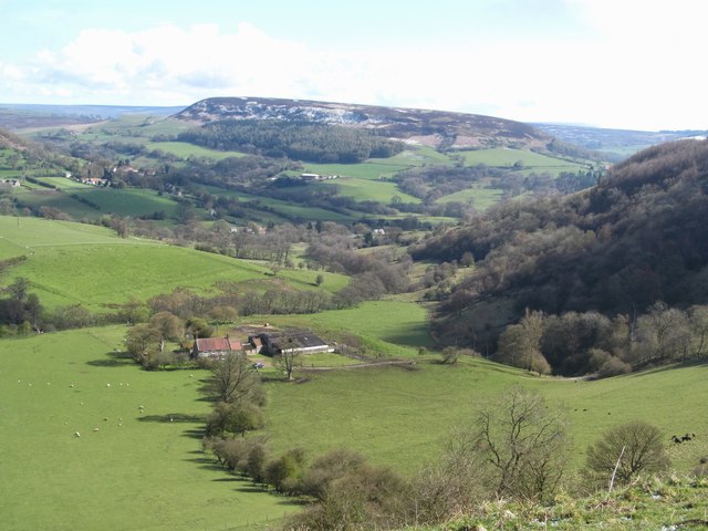
Image: © Gordon Hatton Taken: 28 Apr 2016
This is the view north eastwards from the vantage point of Peak Scar Top. Below is the farm at Dale Town, whilst in the middle distance the village of Hawnby straggles up the hillside. In the distance is the 'twin' of Hawnby Hill [view 2], this being Easterside, some 15m higher than its neighbour, and also an outlier of the Tabular Hills.
Images are licensed for reuse under creativecommons.org/licenses/by-sa/2.0
Image Location
Latitude
54.290135
Longitude
-1.178386