Wickford Rd & Basildon Upper Academy
Introduction
The photograph on this page of Wickford Rd & Basildon Upper Academy by Glyn Baker as part of the Geograph project.
The Geograph project started in 2005 with the aim of publishing, organising and preserving representative images for every square kilometre of Great Britain, Ireland and the Isle of Man.

There are currently over 7.5m images from over 14,400 individuals and you can help contribute to the project by visiting https://www.geograph.org.uk
Wickford Rd & Basildon Upper Academy
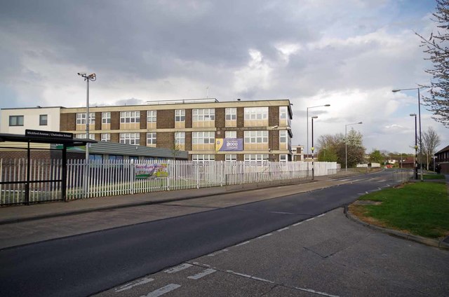
Image: © Glyn Baker Taken: 27 Apr 2016
The academy was formerly known as Chalvedon School (the bus stop is still called that).
Images are licensed for reuse under creativecommons.org/licenses/by-sa/2.0
Image Location
Latitude
51.568303
Longitude
0.502718