The road through Stitchcombe
Introduction
The photograph on this page of The road through Stitchcombe by David Howard as part of the Geograph project.
The Geograph project started in 2005 with the aim of publishing, organising and preserving representative images for every square kilometre of Great Britain, Ireland and the Isle of Man.

There are currently over 7.5m images from over 14,400 individuals and you can help contribute to the project by visiting https://www.geograph.org.uk
The road through Stitchcombe
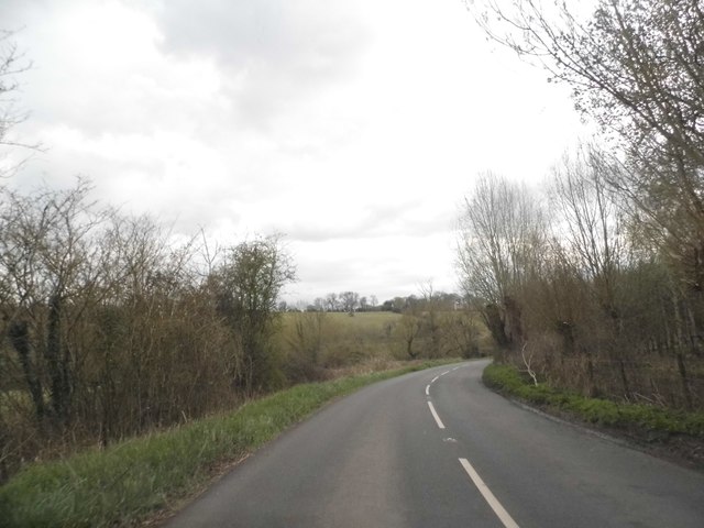
Image: © David Howard Taken: 24 Apr 2016
It starts as White's Hill and ends as something else near Marlborough, but it's unclear what it's called in between.
Images are licensed for reuse under creativecommons.org/licenses/by-sa/2.0
Image Location
Latitude
51.424873
Longitude
-1.676488