The Owen O'Cork mill, Belfast (April 2016)
Introduction
The photograph on this page of The Owen O'Cork mill, Belfast (April 2016) by Albert Bridge as part of the Geograph project.
The Geograph project started in 2005 with the aim of publishing, organising and preserving representative images for every square kilometre of Great Britain, Ireland and the Isle of Man.

There are currently over 7.5m images from over 14,400 individuals and you can help contribute to the project by visiting https://www.geograph.org.uk
The Owen O'Cork mill, Belfast (April 2016)
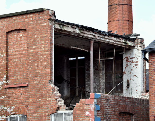
Image: © Albert Bridge Taken: 27 Apr 2016
See Image (January 2010). The Owen O’Cork mill, Beersbridge Road, with a hole in the north eastern wall. Being a listed building this is probably covered by a planning permission but I cannot (at the time of submission) find it on the NI planning portal.
Images are licensed for reuse under creativecommons.org/licenses/by-sa/2.0
Image Location
Latitude
54.593023
Longitude
-5.889287