Field and house by Staddon Road
Introduction
The photograph on this page of Field and house by Staddon Road by Derek Harper as part of the Geograph project.
The Geograph project started in 2005 with the aim of publishing, organising and preserving representative images for every square kilometre of Great Britain, Ireland and the Isle of Man.

There are currently over 7.5m images from over 14,400 individuals and you can help contribute to the project by visiting https://www.geograph.org.uk
Field and house by Staddon Road
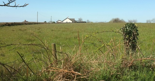
Image: © Derek Harper Taken: 23 Apr 2016
An assortment of houses has sprung up along the road, not quite constituting ribbon development, as this photo (looking left from the spot shown in Image]) shows; the road is behind the hedge on the left and there is a substantial gap here between buildings.
Images are licensed for reuse under creativecommons.org/licenses/by-sa/2.0
Image Location
Latitude
50.80497
Longitude
-4.334556