View from West Green Bridge
Introduction
The photograph on this page of View from West Green Bridge by Rose and Trev Clough as part of the Geograph project.
The Geograph project started in 2005 with the aim of publishing, organising and preserving representative images for every square kilometre of Great Britain, Ireland and the Isle of Man.

There are currently over 7.5m images from over 14,400 individuals and you can help contribute to the project by visiting https://www.geograph.org.uk
View from West Green Bridge
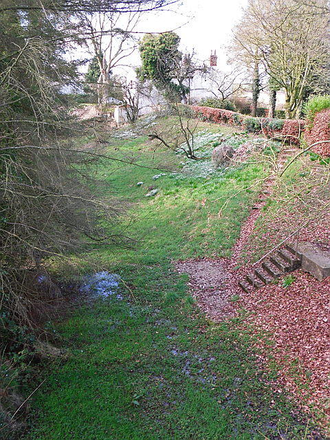
Image: © Rose and Trev Clough Taken: 16 Mar 2016
This was the bed of the Carlisle Canal (opened 1823), which went to Port Carlisle. By 1854 the canal had been drained and replaced with a railway, which was extended to Silloth in 1856. The line closed in 1964. The former railway land has been acquired by householders along the route to extend their gardens.
Images are licensed for reuse under creativecommons.org/licenses/by-sa/2.0
Image Location
Latitude
54.9203
Longitude
-3.065092