The edge of Castlehill Plantation
Introduction
The photograph on this page of The edge of Castlehill Plantation by David Smith as part of the Geograph project.
The Geograph project started in 2005 with the aim of publishing, organising and preserving representative images for every square kilometre of Great Britain, Ireland and the Isle of Man.

There are currently over 7.5m images from over 14,400 individuals and you can help contribute to the project by visiting https://www.geograph.org.uk
The edge of Castlehill Plantation
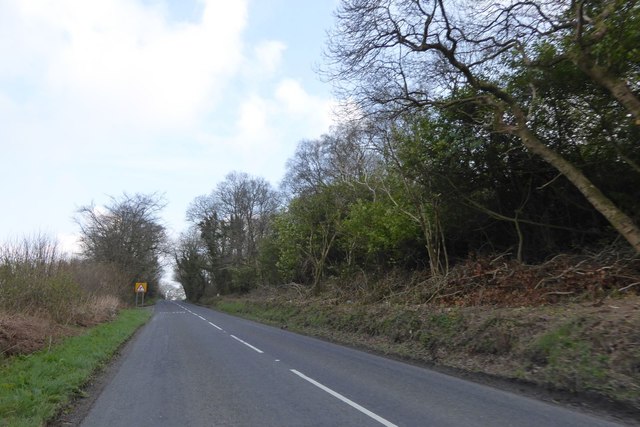
Image: © David Smith Taken: 15 Apr 2016
The scrub at the edge of the road has been cut back for the benefit of motorists and for the good of the base layer of the woodland
Images are licensed for reuse under creativecommons.org/licenses/by-sa/2.0
Image Location
Latitude
50.651365
Longitude
-4.373899