OS bolt & benchmark - Shap, St Michael's Church
Introduction
The photograph on this page of OS bolt & benchmark - Shap, St Michael's Church by Richard Law as part of the Geograph project.
The Geograph project started in 2005 with the aim of publishing, organising and preserving representative images for every square kilometre of Great Britain, Ireland and the Isle of Man.

There are currently over 7.5m images from over 14,400 individuals and you can help contribute to the project by visiting https://www.geograph.org.uk
OS bolt & benchmark - Shap, St Michael's Church
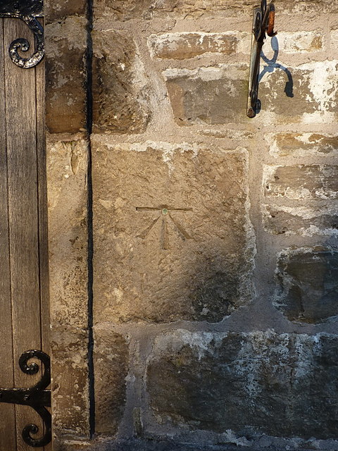
Image: © Richard Law Taken: 20 Apr 2016
An OS bolt and cutmark, dating from the First Primary Levelling survey in the early 1840s; and levelled at almost exactly 863 feet above Liverpool Datum. It's now considered to be 263.149m above Newlyn Datum.
Images are licensed for reuse under creativecommons.org/licenses/by-sa/2.0
Image Location
Latitude
54.531401
Longitude
-2.675655