Rye House Pylons
Introduction
The photograph on this page of Rye House Pylons by Glyn Baker as part of the Geograph project.
The Geograph project started in 2005 with the aim of publishing, organising and preserving representative images for every square kilometre of Great Britain, Ireland and the Isle of Man.

There are currently over 7.5m images from over 14,400 individuals and you can help contribute to the project by visiting https://www.geograph.org.uk
Rye House Pylons
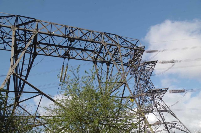
Image: © Glyn Baker Taken: 23 Apr 2016
Quite a tangle of wires around the Rye House power plant, beside the Lee Navigation.
Images are licensed for reuse under creativecommons.org/licenses/by-sa/2.0
Image Location
Latitude
51.757143
Longitude
0.012069