Railway line at Moulinearn
Introduction
The photograph on this page of Railway line at Moulinearn by Douglas Nelson as part of the Geograph project.
The Geograph project started in 2005 with the aim of publishing, organising and preserving representative images for every square kilometre of Great Britain, Ireland and the Isle of Man.

There are currently over 7.5m images from over 14,400 individuals and you can help contribute to the project by visiting https://www.geograph.org.uk
Railway line at Moulinearn
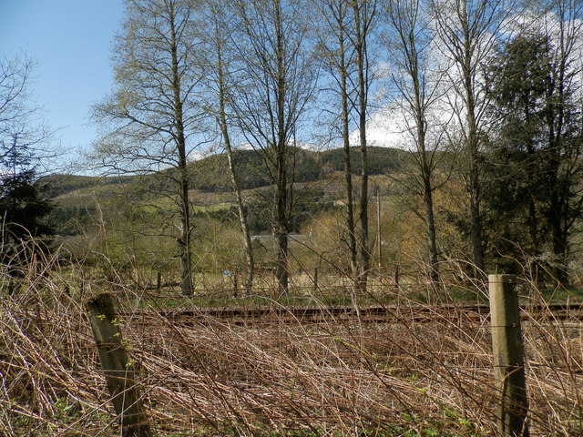
Image: © Douglas Nelson Taken: 23 Apr 2016
The house behind the trees was a coaching inn or kingshouse on General Wade's military road which was built following the Jacobite Uprising of 1715. The Athole Arms Inn was an alternative designation. It continued to serve as a coaching inn until the advent of the railway which runs between the old military road and the A9.
Images are licensed for reuse under creativecommons.org/licenses/by-sa/2.0
Image Location


Leaflet Map data © OpenStreetMap
Latitude
56.673741
Longitude
-3.683651