Converted farm buildings at Low Waskerley
Introduction
The photograph on this page of Converted farm buildings at Low Waskerley by Robert Graham as part of the Geograph project.
The Geograph project started in 2005 with the aim of publishing, organising and preserving representative images for every square kilometre of Great Britain, Ireland and the Isle of Man.

There are currently over 7.5m images from over 14,400 individuals and you can help contribute to the project by visiting https://www.geograph.org.uk
Converted farm buildings at Low Waskerley
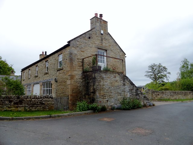
Image: © Robert Graham Taken: 22 May 2015
This settlement to the west of Shotley Bridge was probably an early C19 planned farmstead. All the buildings have now been converted to residential use.
Images are licensed for reuse under creativecommons.org/licenses/by-sa/2.0
Image Location
Latitude
54.873944
Longitude
-1.867198