Tap and Spile, Monkgate, York
Introduction
The photograph on this page of Tap and Spile, Monkgate, York by Stephen Richards as part of the Geograph project.
The Geograph project started in 2005 with the aim of publishing, organising and preserving representative images for every square kilometre of Great Britain, Ireland and the Isle of Man.

There are currently over 7.5m images from over 14,400 individuals and you can help contribute to the project by visiting https://www.geograph.org.uk
Tap and Spile, Monkgate, York
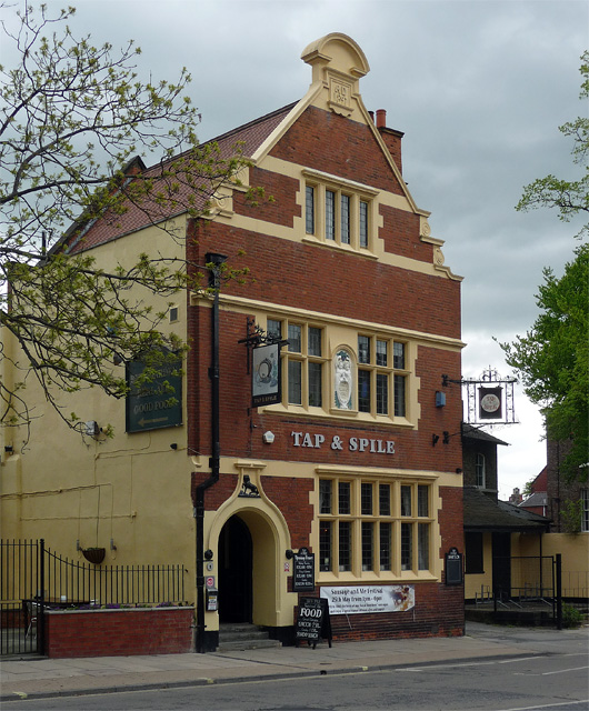
Image: © Stephen Richards Taken: 14 May 2013
Lively "Free Jacobean" style pub, built in 1897 (as the Black Horse). Grade II listed.
Images are licensed for reuse under creativecommons.org/licenses/by-sa/2.0
Image Location
Latitude
53.963683
Longitude
-1.076901