Somerset Levels by Horsey Drove
Introduction
The photograph on this page of Somerset Levels by Horsey Drove by Derek Harper as part of the Geograph project.
The Geograph project started in 2005 with the aim of publishing, organising and preserving representative images for every square kilometre of Great Britain, Ireland and the Isle of Man.

There are currently over 7.5m images from over 14,400 individuals and you can help contribute to the project by visiting https://www.geograph.org.uk
Somerset Levels by Horsey Drove
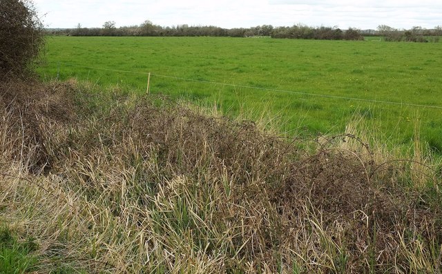
Image: © Derek Harper Taken: 16 Apr 2016
Looking to the right from the stretch of bridleway shown in Image Somewhere in the foreground is a rhyne.
Images are licensed for reuse under creativecommons.org/licenses/by-sa/2.0
Image Location
Latitude
50.995497
Longitude
-2.807895