Natural England designated Wildlife Haven, Mawdesley
Introduction
The photograph on this page of Natural England designated Wildlife Haven, Mawdesley by Gary Rogers as part of the Geograph project.
The Geograph project started in 2005 with the aim of publishing, organising and preserving representative images for every square kilometre of Great Britain, Ireland and the Isle of Man.

There are currently over 7.5m images from over 14,400 individuals and you can help contribute to the project by visiting https://www.geograph.org.uk
Natural England designated Wildlife Haven, Mawdesley
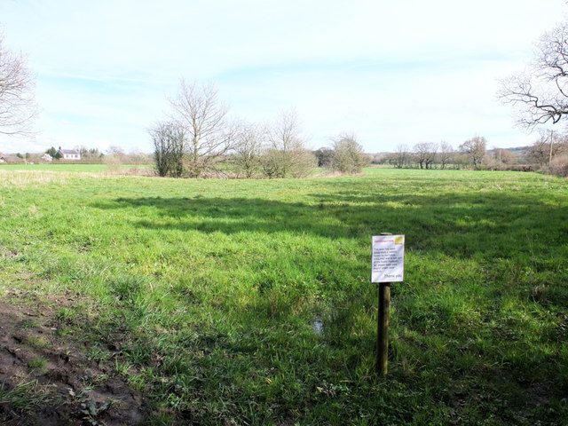
Image: © Gary Rogers Taken: 13 Apr 2016
South of the footpath between Blue Stone Lane and Salt Pit Lane
Images are licensed for reuse under creativecommons.org/licenses/by-sa/2.0
Image Location
Latitude
53.632326
Longitude
-2.749276