Pasture and Horses
Introduction
The photograph on this page of Pasture and Horses by Dave Smethurst as part of the Geograph project.
The Geograph project started in 2005 with the aim of publishing, organising and preserving representative images for every square kilometre of Great Britain, Ireland and the Isle of Man.

There are currently over 7.5m images from over 14,400 individuals and you can help contribute to the project by visiting https://www.geograph.org.uk
Pasture and Horses
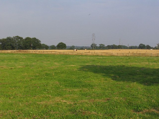
Image: © Dave Smethurst Taken: 3 Sep 2005
This image was taken from SJ-71106-87480 looking east across this pasture. This point is the junction of three roads, Bradshaw Lane, Wet Gate Lane and Spring Lane.
Images are licensed for reuse under creativecommons.org/licenses/by-sa/2.0
Image Location
Latitude
53.38265
Longitude
-2.435938