Bollard
Introduction
The photograph on this page of Bollard by Hugh Craddock as part of the Geograph project.
The Geograph project started in 2005 with the aim of publishing, organising and preserving representative images for every square kilometre of Great Britain, Ireland and the Isle of Man.

There are currently over 7.5m images from over 14,400 individuals and you can help contribute to the project by visiting https://www.geograph.org.uk
Bollard
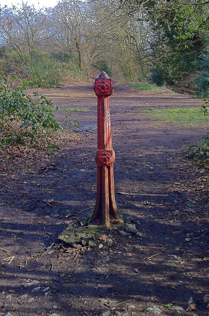
Image: © Hugh Craddock Taken: 29 Mar 2016
Cast iron bollard, preventing vehicular access onto Mousehold Heath from the drive off Sprowston Road. The bollard, still serviceable, has a certain charm being of pre-war origin, with a hint of arts and crafts.
Images are licensed for reuse under creativecommons.org/licenses/by-sa/2.0
Image Location
Latitude
52.646713
Longitude
1.308445