Cassillis Road Building Site
Introduction
The photograph on this page of Cassillis Road Building Site by Mary and Angus Hogg as part of the Geograph project.
The Geograph project started in 2005 with the aim of publishing, organising and preserving representative images for every square kilometre of Great Britain, Ireland and the Isle of Man.

There are currently over 7.5m images from over 14,400 individuals and you can help contribute to the project by visiting https://www.geograph.org.uk
Cassillis Road Building Site
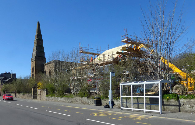
Image: © Mary and Angus Hogg Taken: 20 Apr 2016
This is the second block of flats to be built on the site, next to the old Parish Church. The site was cleared of the former agricultural machinery works to facilitate this development - see Image
Images are licensed for reuse under creativecommons.org/licenses/by-sa/2.0
Image Location
Latitude
55.35661
Longitude
-4.677684