Building site
Introduction
The photograph on this page of Building site by John Baker as part of the Geograph project.
The Geograph project started in 2005 with the aim of publishing, organising and preserving representative images for every square kilometre of Great Britain, Ireland and the Isle of Man.

There are currently over 7.5m images from over 14,400 individuals and you can help contribute to the project by visiting https://www.geograph.org.uk
Building site
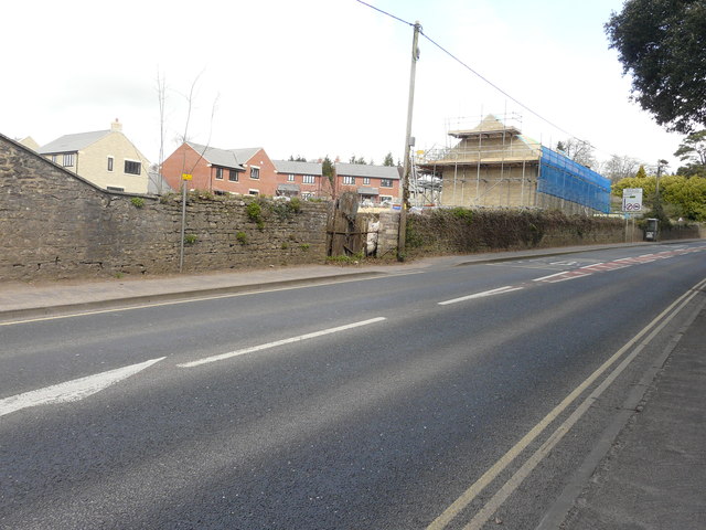
Image: © John Baker Taken: 2 Apr 2016
Seen from New Street (A39), the development is described in Mendip District Council’s planning application 2012/1472 as the “construction of 62 one and two storey dwellings including 35 sheltered housing units together with associated highways, car parking, landscaping and open space”. The site has been named Ash Rise and is accessed from Ash Close. David Dixon’s Image shows this road near to its junction with Ash Lane.
Images are licensed for reuse under creativecommons.org/licenses/by-sa/2.0
Image Location
Latitude
51.214924
Longitude
-2.646366