Lane junction near Roughlee
Introduction
The photograph on this page of Lane junction near Roughlee by philandju as part of the Geograph project.
The Geograph project started in 2005 with the aim of publishing, organising and preserving representative images for every square kilometre of Great Britain, Ireland and the Isle of Man.

There are currently over 7.5m images from over 14,400 individuals and you can help contribute to the project by visiting https://www.geograph.org.uk
Lane junction near Roughlee
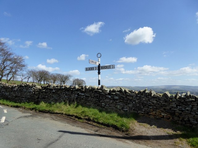
Image: © philandju Taken: 19 Apr 2016
Wheathead Lane meets Black Moss Road. Possible destinations are Downham, Blacko and Roughlee.
Images are licensed for reuse under creativecommons.org/licenses/by-sa/2.0
Image Location
Latitude
53.871334
Longitude
-2.250597