Maidstone Road (B2015)
Introduction
The photograph on this page of Maidstone Road (B2015) by Marathon as part of the Geograph project.
The Geograph project started in 2005 with the aim of publishing, organising and preserving representative images for every square kilometre of Great Britain, Ireland and the Isle of Man.

There are currently over 7.5m images from over 14,400 individuals and you can help contribute to the project by visiting https://www.geograph.org.uk
Maidstone Road (B2015)
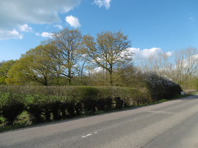
Image: © Marathon Taken: 17 Apr 2016
This is the B2015 (Maidstone Road) which is much busier than it sounds. It leads from the roundabout with the A228 to Nettlestead and Wateringbury. Hook Wood is in the distance.
Images are licensed for reuse under creativecommons.org/licenses/by-sa/2.0
Image Location
Latitude
51.226542
Longitude
0.40005