City parish churches: St. Olave Jewry (former)
Introduction
The photograph on this page of City parish churches: St. Olave Jewry (former) by Chris Downer as part of the Geograph project.
The Geograph project started in 2005 with the aim of publishing, organising and preserving representative images for every square kilometre of Great Britain, Ireland and the Isle of Man.

There are currently over 7.5m images from over 14,400 individuals and you can help contribute to the project by visiting https://www.geograph.org.uk
City parish churches: St. Olave Jewry (former)
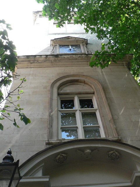
Image: © Chris Downer Taken: 8 Jul 2007
In St. Olave's Court, off Ironmonger Lane. Rebuilt by Christopher Wren, following the great fire, in 1670-76; demolished in 1888-91 except for the tower, which is now used as offices.
Images are licensed for reuse under creativecommons.org/licenses/by-sa/2.0
Image Location
Latitude
51.514538
Longitude
-0.090882