Blinshall Street, Dundee. (South end)
Introduction
The photograph on this page of Blinshall Street, Dundee. (South end) by Douglas Nelson as part of the Geograph project.
The Geograph project started in 2005 with the aim of publishing, organising and preserving representative images for every square kilometre of Great Britain, Ireland and the Isle of Man.

There are currently over 7.5m images from over 14,400 individuals and you can help contribute to the project by visiting https://www.geograph.org.uk
Blinshall Street, Dundee. (South end)
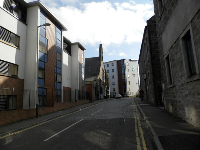
Image: © Douglas Nelson Taken: 31 Mar 2016
The street contains a mix of buildings, converted former jute industry premises, buildings, modern student accommodation and a disused church. The former St Mary Magdalene Episcopal church was originally built as an Episcopal mission to the nearby mills of Blackness by Bishop Alexander Penrose Forbes.
Images are licensed for reuse under creativecommons.org/licenses/by-sa/2.0
Image Location
Latitude
56.4606
Longitude
-2.981403