Fenced-off site in Llwynhendy
Introduction
The photograph on this page of Fenced-off site in Llwynhendy by Jaggery as part of the Geograph project.
The Geograph project started in 2005 with the aim of publishing, organising and preserving representative images for every square kilometre of Great Britain, Ireland and the Isle of Man.

There are currently over 7.5m images from over 14,400 individuals and you can help contribute to the project by visiting https://www.geograph.org.uk
Fenced-off site in Llwynhendy
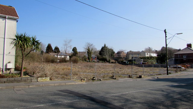
Image: © Jaggery Taken: 17 Mar 2016
This is the southern edge of a fenced-off site measuring about 55 metres by 55 metres between the B4297 Llwynhendy Road (on this side) and Glynderwen Road, viewed in March 2016. A January 2009 Google Earth Street View shows a derelict garage/MOT test centre here. The garage was demolished some time before an August 2011 Google Earth Street View was taken.
Images are licensed for reuse under creativecommons.org/licenses/by-sa/2.0
Image Location
Latitude
51.677704
Longitude
-4.115922