Park House and Brighton House, north end of Camberwell Green
Introduction
The photograph on this page of Park House and Brighton House, north end of Camberwell Green by Robin Stott as part of the Geograph project.
The Geograph project started in 2005 with the aim of publishing, organising and preserving representative images for every square kilometre of Great Britain, Ireland and the Isle of Man.

There are currently over 7.5m images from over 14,400 individuals and you can help contribute to the project by visiting https://www.geograph.org.uk
Park House and Brighton House, north end of Camberwell Green
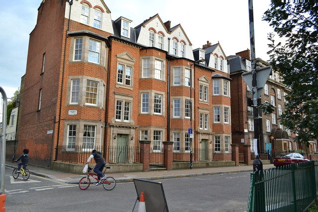
Image: © Robin Stott Taken: 18 Sep 2015
These first appear on an OS map of 1916, replacing small properties. They are not part of the Peabody estate that adjoins them. They appear to be privately owned and let flats.
Images are licensed for reuse under creativecommons.org/licenses/by-sa/2.0
Image Location
Latitude
51.47535
Longitude
-0.092086