Barrowden House
Introduction
The photograph on this page of Barrowden House by Alan Murray-Rust as part of the Geograph project.
The Geograph project started in 2005 with the aim of publishing, organising and preserving representative images for every square kilometre of Great Britain, Ireland and the Isle of Man.

There are currently over 7.5m images from over 14,400 individuals and you can help contribute to the project by visiting https://www.geograph.org.uk
Barrowden House
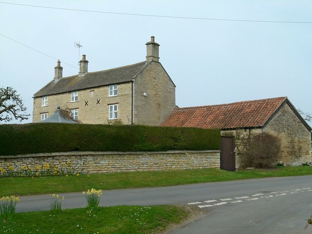
Image: © Alan Murray-Rust Taken: 11 Apr 2016
Parts date from around 1700, but the datestone on the frontage is inscribed 1724 http://www.geograph.org.uk/photo/4906129. Course stone rubble with modern stone slate roof, Listed Grade II for group value.
Images are licensed for reuse under creativecommons.org/licenses/by-sa/2.0
Image Location
Latitude
52.593075
Longitude
-0.604029