Pantling's Lane joins the B1024
Introduction
The photograph on this page of Pantling's Lane joins the B1024 by Richard Law as part of the Geograph project.
The Geograph project started in 2005 with the aim of publishing, organising and preserving representative images for every square kilometre of Great Britain, Ireland and the Isle of Man.

There are currently over 7.5m images from over 14,400 individuals and you can help contribute to the project by visiting https://www.geograph.org.uk
Pantling's Lane joins the B1024
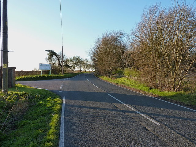
Image: © Richard Law Taken: 6 Apr 2016
Partly metalled road (at this eastern end) but mainly a narrow bridleway, Pantling's Lane runs westwards from this point to the former boundary of the Rivenhall airfield. In all probability, it originally went further west, but the construction of the airfield in 1946 would have put paid to that.
Images are licensed for reuse under creativecommons.org/licenses/by-sa/2.0
Image Location
Latitude
51.849401
Longitude
0.695153