Service road, Plainmoor
Introduction
The photograph on this page of Service road, Plainmoor by Derek Harper as part of the Geograph project.
The Geograph project started in 2005 with the aim of publishing, organising and preserving representative images for every square kilometre of Great Britain, Ireland and the Isle of Man.

There are currently over 7.5m images from over 14,400 individuals and you can help contribute to the project by visiting https://www.geograph.org.uk
Service road, Plainmoor
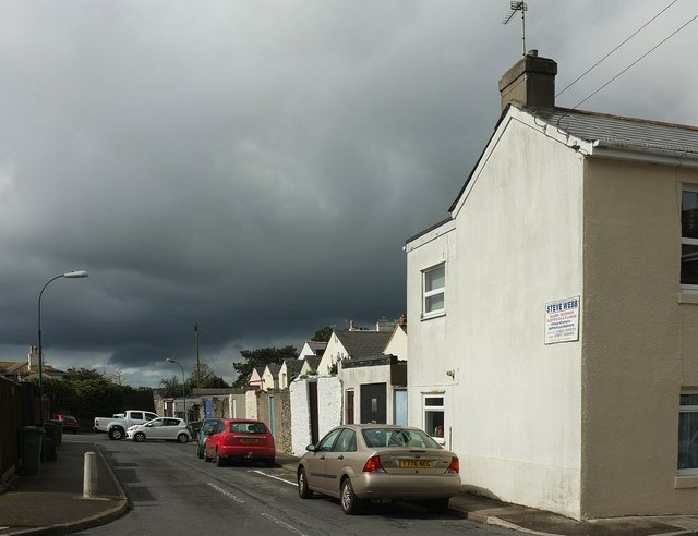
Image: © Derek Harper Taken: 9 Apr 2016
Seen across Victoria Park Road, and continuing the line of the alley shown in Image], but not for very far. It ends in a small parking area and gives access to garages at the rear of properties on St Marychurch Road. The dark clouds are still approaching.
Images are licensed for reuse under creativecommons.org/licenses/by-sa/2.0
Image Location
Latitude
50.476117
Longitude
-3.528894