West on Bowyer Place, Camberwell, approaching Camberwell Road
Introduction
The photograph on this page of West on Bowyer Place, Camberwell, approaching Camberwell Road by Robin Stott as part of the Geograph project.
The Geograph project started in 2005 with the aim of publishing, organising and preserving representative images for every square kilometre of Great Britain, Ireland and the Isle of Man.

There are currently over 7.5m images from over 14,400 individuals and you can help contribute to the project by visiting https://www.geograph.org.uk
West on Bowyer Place, Camberwell, approaching Camberwell Road
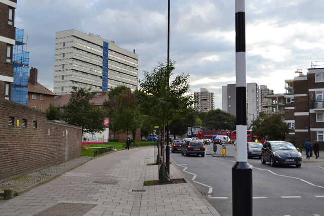
Image: © Robin Stott Taken: 18 Sep 2015
A sliver of tall Masterman House appears, left. The light-coloured slab of flats (or maisonettes) is Castlemead on Camberwell Road Image
Images are licensed for reuse under creativecommons.org/licenses/by-sa/2.0
Image Location
Latitude
51.47906
Longitude
-0.093516