Harvest Road
Introduction
The photograph on this page of Harvest Road by John Baker as part of the Geograph project.
The Geograph project started in 2005 with the aim of publishing, organising and preserving representative images for every square kilometre of Great Britain, Ireland and the Isle of Man.

There are currently over 7.5m images from over 14,400 individuals and you can help contribute to the project by visiting https://www.geograph.org.uk
Harvest Road
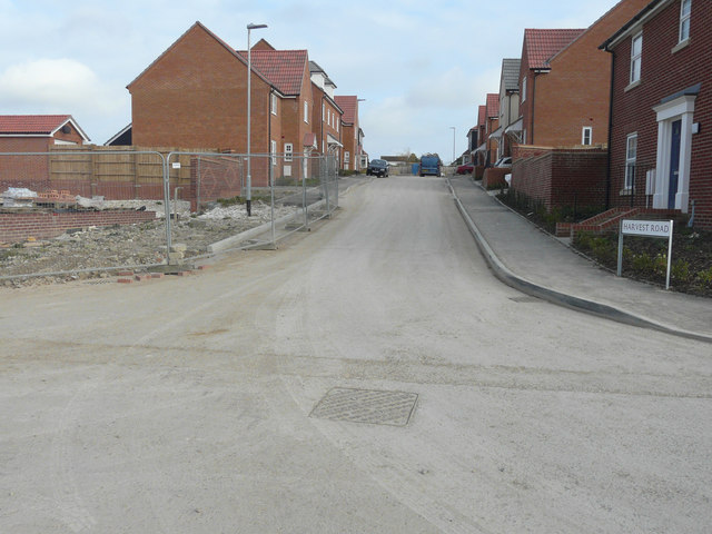
Image: © John Baker Taken: 20 Mar 2016
This road is at the far end of Image on a new housing estate, still under construction, called Bowmans Place. Planning permission has been granted by Dover District Council under application number DOV/13/00607 for “reserved matters application for 74 dwellings (landscaping, access, scale, layout and appearance) details pursuant to outline permission DOV/10/1011 phase 1A (amended details)”. The location is described as Site at Phase 1A - Whitfield Urban Extension.
Images are licensed for reuse under creativecommons.org/licenses/by-sa/2.0
Image Location
Latitude
51.166507
Longitude
1.292332