Hawthorne Place: middle phase of building
Introduction
The photograph on this page of Hawthorne Place: middle phase of building by Stephen Craven as part of the Geograph project.
The Geograph project started in 2005 with the aim of publishing, organising and preserving representative images for every square kilometre of Great Britain, Ireland and the Isle of Man.

There are currently over 7.5m images from over 14,400 individuals and you can help contribute to the project by visiting https://www.geograph.org.uk
Hawthorne Place: middle phase of building
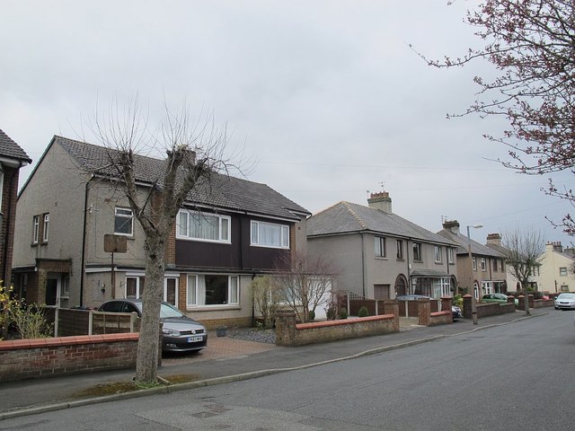
Image: © Stephen Craven Taken: 9 Apr 2016
Hawthorne Place has three phases of building: older terraces nearest to Waddington Road, these mid-20th century semi-detached houses in the middle, and a more recent development of detached houses around the year 2000 on land at Hawthorne Farm at the far end Image
Images are licensed for reuse under creativecommons.org/licenses/by-sa/2.0
Image Location
Latitude
53.877067
Longitude
-2.392089