Former Hawthorne Farm, Clitheroe
Introduction
The photograph on this page of Former Hawthorne Farm, Clitheroe by Stephen Craven as part of the Geograph project.
The Geograph project started in 2005 with the aim of publishing, organising and preserving representative images for every square kilometre of Great Britain, Ireland and the Isle of Man.

There are currently over 7.5m images from over 14,400 individuals and you can help contribute to the project by visiting https://www.geograph.org.uk
Former Hawthorne Farm, Clitheroe
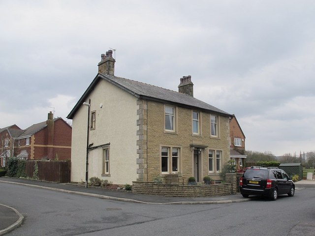
Image: © Stephen Craven Taken: 9 Apr 2016
This building at the north-east end of Hawthorne Place was a working farmhouse when I lived on the street in the 1960s. There used to be a set of barns to the west, seen in Image (the farmhouse being hidden in that view) but much of the farmland was sold to a developer around 2000 for building a housing estate.
Images are licensed for reuse under creativecommons.org/licenses/by-sa/2.0
Image Location
Latitude
53.877787
Longitude
-2.391791