Wateringbury Sewage Treatment Works
Introduction
The photograph on this page of Wateringbury Sewage Treatment Works by Danny P Robinson as part of the Geograph project.
The Geograph project started in 2005 with the aim of publishing, organising and preserving representative images for every square kilometre of Great Britain, Ireland and the Isle of Man.

There are currently over 7.5m images from over 14,400 individuals and you can help contribute to the project by visiting https://www.geograph.org.uk
Wateringbury Sewage Treatment Works
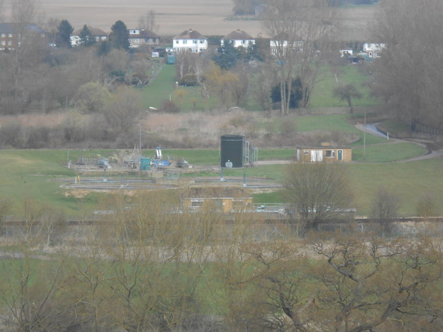
Image: © Danny P Robinson Taken: 3 Apr 2016
This sewage treatment works takes wastewater from Teston and Wateringbury. The picture also shows the rear of the houses on Tonbridge Road.
Images are licensed for reuse under creativecommons.org/licenses/by-sa/2.0
Image Location
Latitude
51.251544
Longitude
0.430587