Gate to reclaimed fields and information sign
Introduction
The photograph on this page of Gate to reclaimed fields and information sign by Eirian Evans as part of the Geograph project.
The Geograph project started in 2005 with the aim of publishing, organising and preserving representative images for every square kilometre of Great Britain, Ireland and the Isle of Man.

There are currently over 7.5m images from over 14,400 individuals and you can help contribute to the project by visiting https://www.geograph.org.uk
Gate to reclaimed fields and information sign
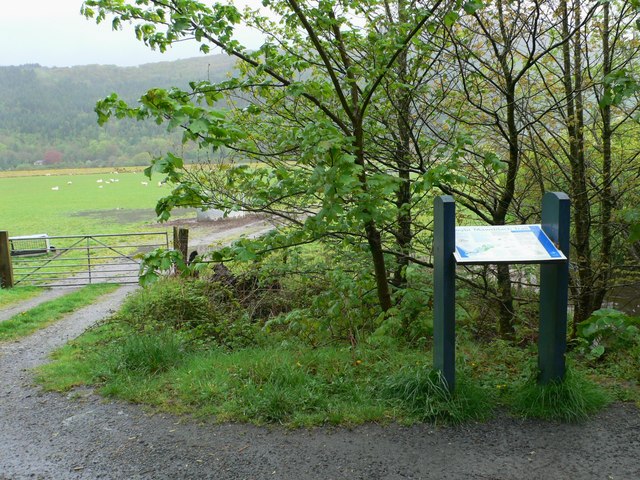
Image: © Eirian Evans Taken: 10 May 2012
These fields were covered by the tide until the middle of the 19th century, when farmers transformed the land into pasture by building a wall and carrying soil onto the land by horse & cart. The wall was breached in 1926 and were not reclaimed until 1978 when the tidal defence wall was rebuilt. It is extremely fertile land used for grazing and silage.
Images are licensed for reuse under creativecommons.org/licenses/by-sa/2.0
Image Location
Latitude
52.749592
Longitude
-3.928203