Surrey Square Primary School across Surrey Square Park, Walworth
Introduction
The photograph on this page of Surrey Square Primary School across Surrey Square Park, Walworth by Robin Stott as part of the Geograph project.
The Geograph project started in 2005 with the aim of publishing, organising and preserving representative images for every square kilometre of Great Britain, Ireland and the Isle of Man.

There are currently over 7.5m images from over 14,400 individuals and you can help contribute to the project by visiting https://www.geograph.org.uk
Surrey Square Primary School across Surrey Square Park, Walworth
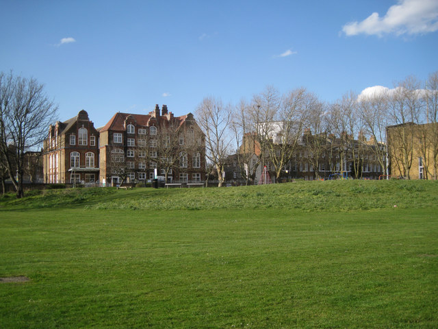
Image: © Robin Stott Taken: 5 Apr 2016
The school first appears on an OS map of 1895, having been built some time in the preceding decade. On the right is part of a yellow brick church signed Abundant Grace Sanctuary, The Church of the Lord (Aladura) Worldwide; this is its Europe HQ. Surrey Square Park first appears on an OS map of 1995, where there had been terraced houses.
Images are licensed for reuse under creativecommons.org/licenses/by-sa/2.0
Image Location
Latitude
51.488781
Longitude
-0.083027